Santa Margarita River Trail - Hike 2
Trailhead to santa margarita trail loop and back
Distance: Complete loop - under 6 miles
This trail has 3 river/creek crossings
The Santa Margarita River trail begins at Sandia Creek Road, off De Luz road in
Fallbrook. The first 1.5 miles of the trail is mostly under a shady woodland
canopy. Photos of the area are shown on the markers on the map.
Tip: Terrain view is the default and doesn't
zoom as close as Satellite or Hybrid views.
Blue: Trailhead to return path intersection -
1.141 miles Green: Santa Margarita trail loop - 3+ miles
Santa Margarita River trail loop hike
A. Trailhead parking lot
From the trailhead to the Santa Margarita River crossing the trail is
an easy, flat hike except for some boulders at the beginning.
B. 1.14 miles from the trailhead to fork in the trail
Continue east toward the river toward the horse crossing.
C. River crossing
Either ford the shallow river or make your way across the boulders
D. Bee hive in rock crevice
There's a huge bee hive in a rock crevice around here. Just go by
quickly and they won't bother you.
E. Willow Creek Road river crossing
Ford the shallow river
F. Mortreros
You can't miss the depressions in the boulders in the trail. Native
americans used to grind acorns for grain here.
G. Rainbow Creek crossing
Ford the shallow creek
H. Intersection
Head uphill to get to the higher, more open trail. The trail right
next to the river is nice, but very narrow. Also can be quite muddy in
winter/spring.
I. Old Ford
Make your way downhill and go past the picturesque wreck of a 1950's
Ford 2-door station wagon on the river bank.
J. Head up the trail
Uphill, past the roadrunner ranch and back down to the river trail
toward the trailhead.
Plants along Santa Margarita River Trail - June 2011
Mexican Elderberry is in bloom
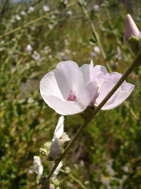
Lots of Bushmallow (malacothamnus fasciculatus) with pink blossoms
along all the stems.
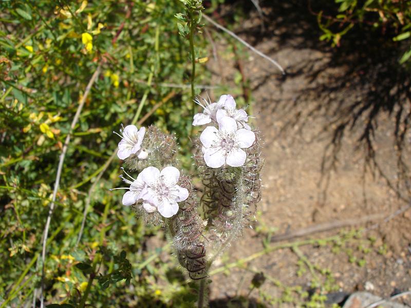
Caterpillar phacelia thickets have a few blossoms left
The Sacapellote is in full bloom, filling in lots of open spaces in
the chaparral
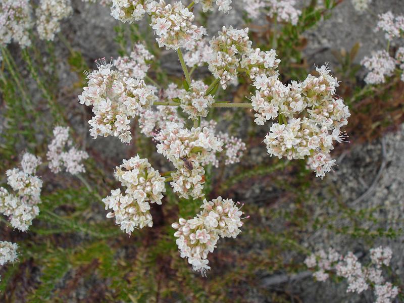
Flat-topped buckwheat is everywhere
Heart-leaf penstemon is having a good bloom year
Some golden yarrow
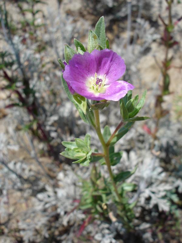
Winecup clarkia
California Rose thickets
A thicket of Basketbush a bit after the California Rose
Interesting plants along the trail - early June 2010
Shrub or small tree with flat-topped clusters of small pale yellow
blooms - Mexican Elderberry
Leggy shrub with pale pink blossoms budding from stems - bushmallow
(malacothamnus fasciculatus)
Rambling bushy plant with pale pink blooms - caterpillar phacelia
Tall and leggy plant with buds in clusters on the tips, not blooming
yet - Sacapellote
Small and bushy plant with flat-topped clusters of off-white blooms -
Buckwheat
Tubular orange flowers on arching branches - heart-leaf penstemon
Tall plants with many yellow blooms on ends of straight bluish stems -
Golden ear-drops
Erect plant less than 3' high with blue flowers attached to stem -
Nuttall snapdragon
Lots of invasive weeds like black mustard, bull thistle, and grasses
Other stuff to see along the trail
Red-tail hawks
Great blue heron
California crows
Mallard ducks
Various birds depending on season
Squirrels
Lizards
Snakes - watch out for rattlesnakes in the rocky areas